Our Deliverables
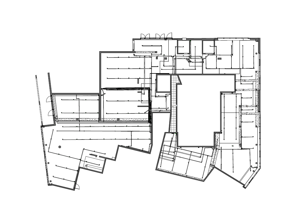
Engineering Documentation (Click to Zoom)
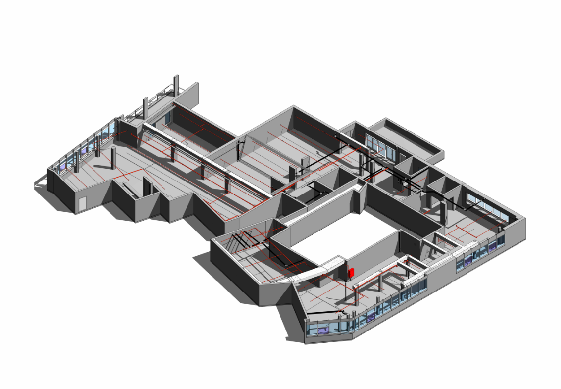
Advanced 3D scanning and LiDAR measurements converted into high-precision engineering models.
The project brain layer - engineering AI agents optimizing and automating data classification workflows.
45MP high-resolution drone documentation for real-time site monitoring and GIS land registration.
Full-shell engineering design and survey solutions, bridging the gap from concept to execution.
We leverage industrial LiDAR and photogrammetry techniques to secure millimeter-level accuracy, fully aligned with rigorous regulatory specs.
Deliverables are built natively in DWG (AutoCAD), RVT (Revit), IFC, and PDF formats, optimized for immediate engineering deployment.
+972 54-6745331 | info@noryx.io